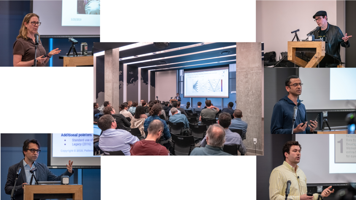
Presentations
Bilingual evening:
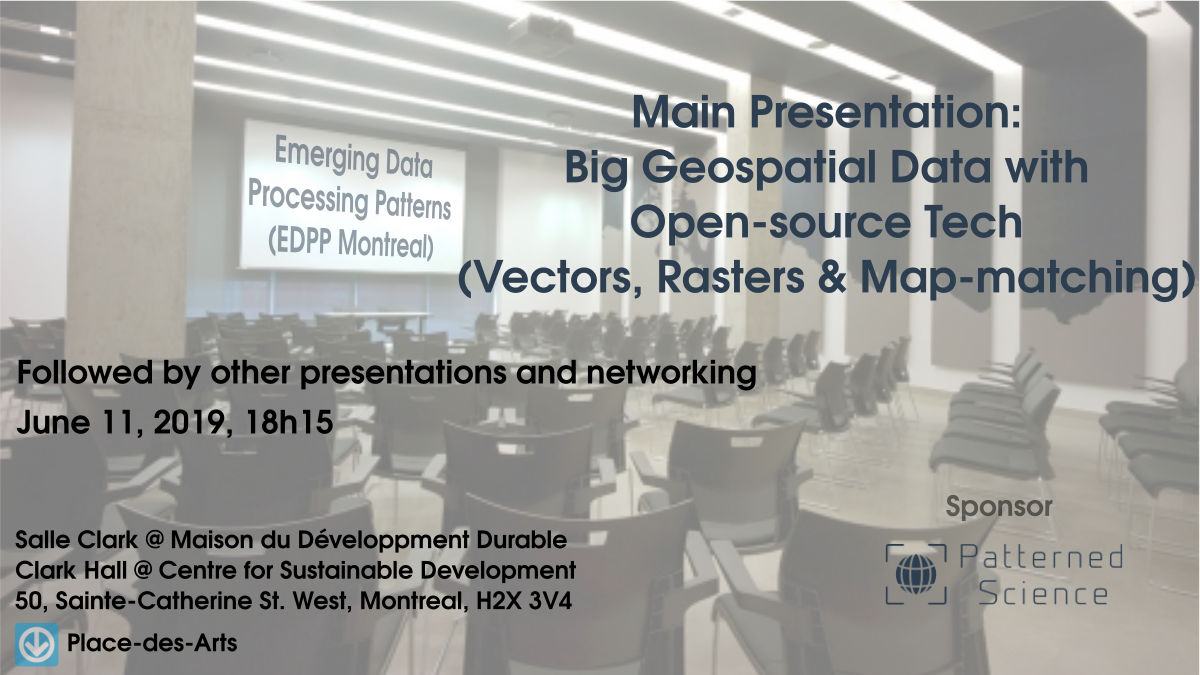
- Big Geospatial Data with Open-source Tech (Vectors, Rasters & Map-matching) - Masood Krohy
- Approche cartographique pour les mégadonnées géographiques - Clément Glogowski
- Quand l’enquête Origine-Destination se prend pour SimCity! - Mohamed Khachman
See event page on meetup.com to RSVP and see schedule, address, etc.
Details:
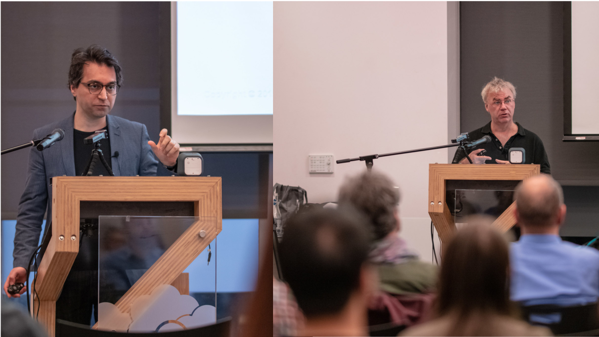
Masood Krohy:
Title: Big Geospatial Data with Open-source Tech (Vectors, Rasters & Map-matching)
Summary: Geospatial datasets (i.e. geocoded data points) are everywhere nowadays and often add enormous value to data analytics/mining and machine learning projects. In this new era of Big Data, libraries and engines such as GeoPandas, PostGIS and the equivalent products in the commercial space often fall short and cannot scale up sufficiently to let us tap into the Big Data that is being collected in many use cases and by many organizations. In this talk/demo, we explore free, open-source, Big Data-ready technologies and workflows like GeoMesa, GeoPySpark and OSRM-on-Spark and show how to use these Apache Spark-based tech/workflows for key geospatial operations and use cases. We start by introducing GeoMesa and demo-ing how it can be used to ingest Big Geospatial Data and perform operations on vectors. Next, we briefly introduce GeoPySpark, the Python interface to Geotrellis, for performing operations on rasters. At the end, we turn to map-matching which is the process of associating names to geocoded data points from an underlying network (e.g., determining which street a particular GPS point should be associated with). We describe and demo how we can combine OSRM with Spark to do scalable map-matching on Big Data and therefore open up a lot of possibilities for advanced data mining and machine learning projects.
Bio: Masood Krohy is a Data Science Platform Architect/Advisor and most recently acted as the Chief Architect of UniAnalytica, an advanced data science platform with wide, out-of-the-box support for time-series and geospatial use cases. He has worked with several corporations in different industries in the past few years to design, implement and productionize Deep Learning and Big Data products. He holds a Ph.D. in computer engineering.
Clément Glogowski:
Titre: Approche cartographique pour les mégadonnées géographiques
Résumé: L’analyse géographique offre un super pouvoir : montrer des relations invisibles en contextualisant les données et en y greffant le pouvoir de l’autocorrélation spatiale. Anagraph propose une approche analytique des mégadonnées, centrée sur les relations espaces-temps à travers des cartes et diagrammes interactifs . Les “géovisualisations“ offrent une riche contribution aux enjeux environnementaux, sociaux, culturels, économiques et de gouvernance, là où la complexité occupe une place importante. Nous survolerons la contribution complémentaire de l’architecture Function as a Service (FaaS) pour un prototypage rapide et dématérialisé.
Bio: Passionné par la géographie et l’informatique Clément cumule ses deux passions depuis presque 10 ans. Il a oeuvré en ingénierie environnementale chez Dessau-Stantec, en géomarketing chez Québécor et Indicia et maintenant chez Anagraph depuis plus de deux ans. Il se situe entre le data scientist, l’analyste BI et le développeur “full stack”. Véritable homme à tout faire, il est capable de faire parler n’importe quels ensembles de données, même les plus tenaces.
Mohamed Khachman:
Titre: Quand l’enquête Origine-Destination se prend pour SimCity!
Résumé: L’approche de prévision de la demande de transport au Québec est ancrée sur une étude des tendances d’évolution des enquête Origine-Destination cycliquement réalisées. Or, la reconstruction de l’ensemble de la population par pondération des enquêtes limite la variabilité spatio-temporelle de la population à celle de l’échantillon. Ainsi, une synthèse spatialisée de population est effectuée dans le but d’attribuer à chaque ménage synthétique une unité de logement répertoriée dans le rôle foncier. Cette spatialisation est basée sur les caractéristiques des ménages et des logements mais aussi sur la composante spatiale des données des enquêtes OD.
Bio: Mohamed Khachman est candidat au doctorat en génie civil – planification des transports à Polytechnique Montréal sous la direction de Pre. Catherine Morency. Dans le cadre de son projet mandaté par le MTQ, il exploite des données socio-démographiques et géospatiales dans le but de synthétiser une population spatialisée de ménages et individus permettant d’alimenter les modèles de microsimulation des comportements de mobilité. Ses travaux s’inscrivent dans le processus d’enrichissement de la démarche de prévision de la demande de transport au Québec.